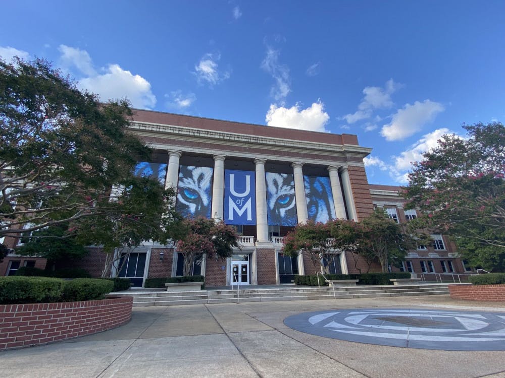
With record temperatures last week, University of Memphis students began classes in a heat wave.
The heat index exceeded 100 in the past week and, as more activities are moved outside due to COVID-19, students are left to face heat and humidity. According to Dr. Dorian Burnette, associate professor in the department of earth sciences, this is a typical occurrence for Memphis.
“This is something that we have to get used to. That said, there are things that are happening in multi-decadal time scales in the background at a slower level,” Burnette said.
Many people who have been living in Memphis for a long time may start to experience certain changes in winter conditions, especially those who endured major winter storms in the 1970s, he said. However, we will see a shift towards more warming conditions as time goes on.
“I’m trying my best to not walk outside as much,” says Jonathan James, a University of Memphis senior, “even if that means I’m a little late.”
As a student who walks across campus for classes, James faces threats from dehydration. Continuing to drink water and staying inside most of the day helps him stay cool.
Brooke Dyer, a junior at the University of Memphis endured similar problems to James.
“The heat has affected me because I have to walk a lot and I don’t do well in heat,” she said.
Parking spots were limited in the Central lot during the first week of classes and Dyer has been forced to park far away from the Arts and Communication building. “I try to get to class early to cool off,” she said.
Due to extreme heat, students could be in potential danger.
“Something that we are very mindful of around here is the fact that our heat comes with large amounts of water vapor stuck in the atmosphere, so the atmosphere just feels thick,” Burnette said.
“When we start to see heat index values breaching 100 degrees Fahrenheit, broadcast meteorologists will start talking about it more. Once we see values eclipse 105, the national weather service issues a heat advisory to call attention to the fact that it’s going to be really hot and humid simultaneously.”
Students traversing campus might have found themselves sweaty by the time they reached their classes, which has been compounded by mask wearing. This can become uncomfortable, but Burnette said there is another aspect to the discomfort.
“The human body sweats in order to cool down, and if there's a high amount of humidity in the atmosphere, less sweat evaporates from your skin and it's harder for you to cool down,” he said.
Dr. Burnette advises students to take cautionary principles on campus. They should bring plenty of water and take breaks if they are outside. Wearing light colored and loose clothing is advised.
In the week to come, Burnette predicts colder weather with the landfall of Hurricane Ida. The rain from Ida will hold down the actual temperature, so it is unlikely Memphis will get to the 90s the next few days, he said. Memphians should see temperatures in the middle to high 80s.
“This is typical, with cloud coverage not being able to warm up the atmosphere. That (cloud cover is) blocking solar radiation which is trying to warm up things.” Burnette said, “So you’re not receiving as much down here, at the surface, resulting in the temperature not going up as much.”
The heat index rose above 100 degrees last week, but Hurricane Ida's landfall should drop the temperature and bring rainfall.


